
合歡山東峰 / Hehuan E. Peak
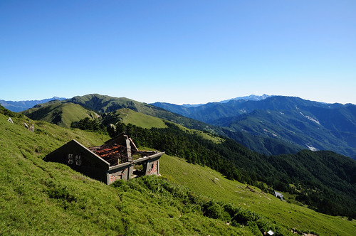
合歡山位於花蓮縣和南投縣的交界上,屬於太魯閣國家公園的一部分,亦是大甲溪和濁水溪以及力務溪的分水嶺。
Mount Hehuan lies along the major drainage divide between Dajia River, Zhuoshui River and Liwu River in Taiwan. It also located at the boundaries of Nantou and Hualien counties and is a part of Taroko National Park.
↑ Taroko National Park.
合歡主峰、北峰、東峰和西峰以及石門山和合歡尖是合歡山的主要山峰,在中橫開闢前必須花費數天才能抵達這些區域。在中橫開闢後,抵達這些百岳只需數個小時。然而,在高海拔環境,任何錯誤都可能奪去寶貴的性命,因此仍不可大意。
High peaks in the mount include Mt. Hehuan, Hehuan N. Peak, Hehuan E. Peak, Hehuan E. Peak, Hehuan W. Peak, Mt. Shihmen, Mt. Hehuanjian. Before the Central Cross-Island Highway was built, it took several days to reach those peaks. Thank those who constructed the highway, it just take a couple of hours reaching those peaks. However, it will be fatal if you don't make all things ready. 
↑ Central Cross-Island Highway.
合歡山東峰,標高3421公尺,在百岳中排名第35,九峨。
Hehuan E. Peak is 3,421 metres above sea level.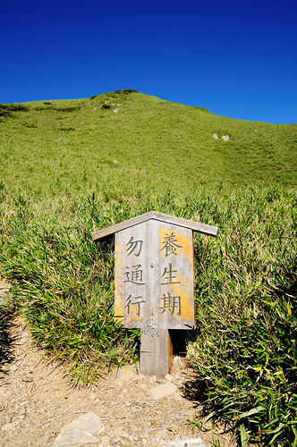
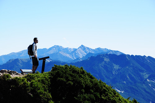
行程大約需要兩小時。
It takes about two hours.
More......
