能高越嶺古道 / Nengao Cross Mountain Historic Trail
能高越嶺古道為早期台灣往來東西的一條重要道路,西從霧社沿著塔羅灣溪一路朝東,跨越中央山脈後經銅門沿著木瓜溪抵達花蓮,為台灣早期重要的交通道路。
Nengao Cross Mountain Historic Trail was an important road for east/west journeys across central Taiwan in early times. The trail starts form Wushe, pass the central mountain range, and ends at Tongmen where near Mukumugi.
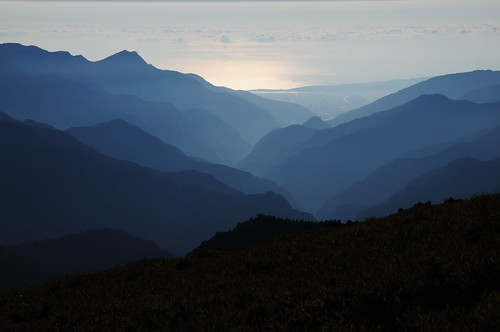
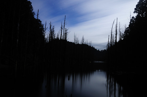
↑從稜線上東望太平洋。From ridge toward east.
爾後台灣電力公司建立橫跨中央山脈的電力傳輸線路,在舊有古道上興建雲海和檜木兩個保線所。除了這兩個保線所,尚有約在路徑中央的天池山莊提供住宿,以及在中央山脈稜線上的"光被八表"紀念碑。
In 1950s, Taiwan Power Company built a power line along this path under the help of the USA. In order to maintain this power line, two line stations also built on the trail. There is also a Tienchi lodge located in the middle of the trail, provide foods and blankets.
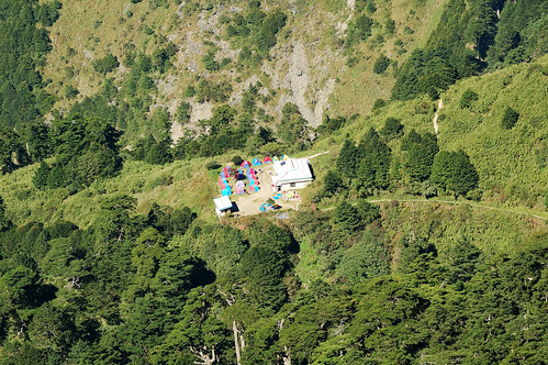 ↑俯瞰舊天池山莊,2011/10造訪時仍在改建。Old Tienchi lodge, it was under rebuild when I visited it on Oct, 2011.
能高越嶺西段路徑寬大,路跡明顯,除了幾處大型崩塌在大雨之後有高風險之外,其緩慢爬升的特性對於登山新手是較為友善的路線。東段的路徑雖不差,但有一小段地形對新手風險較高,且銅門的道路狀況一直都不太穩定。
The western part of the trail have very little elevation gain and the path is pretty clean. However, the geology conditions cause some location of this trail are easy to collapse in heavy rain. The eastern part of the trail have moderate elevation change and hundred meters of landslide terrain.
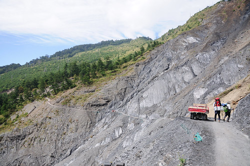
↑路況好時的大崩壁,連腳踏車都可通行。In good weather, even bikes are able to ride on the trail.
奇萊南峰和南華山為此一路線上最接近的兩座百岳,雖然一般人聽到奇萊第一個會聯想到的是鼎鼎有名的"黑色奇萊",但奇萊南峰和其主峰以及北峰的奇峰險石風色完全不同,而是令人心曠神怡的高山草原。
There are two peaks rising over 3000 meter near the trail. Mt. Nanhua, with a peak of 3184 m. Mt Chilai South, with a peak of 3358m.
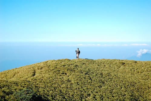
↑奇萊南峰附近的高山草原。The view near Mt. Nanhua.
More......